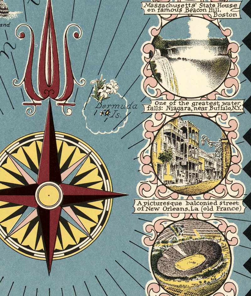
Old Map of USA Canada, North America Pictorial Map 1945
INFO:
✪ Fine reproduction printed with a Canon imagePROGRAF TX-4000.
✪ Heavyweight Matte Museum quality archival paper at 250 g/sqm.
✪ Pigment inks (Canon Lucia EX) that are water & fade-resistant.
✪ Frame is not included.
✪ All maps have a 0.2 inch border that helps for framing.
✪ The print has several sizes. Other sizes are available.
SHIPPING INFO:
✪ Please allow us 1 to 3 business days until the dispatch (in business days don’t count the public holidays & weekends).
✪ All posters shipped inside rigid cardboard tubes with tracking number.
✪ Delivery times:
-Europe: 5-8 business days
-Rest of the World: 9-19 business days
✪ Expedite shipping is available
✪ Any additional
info we will respond in less than 24h
✪ Are you looking for a similar map of a different location? We have thousands of maps available that are not yet listed on the site.
Contact us and let us know what we can help you find!
✪ Please read the
shop policies for important information


